
So, what exactly is a Utility Survey?
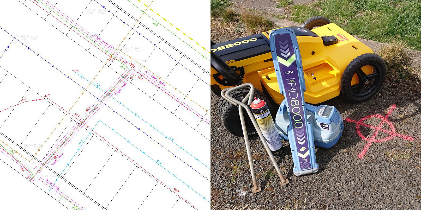
A Utility Survey is an image or model of what is under your feet as you walk across land. They are also sometimes called Services Surveys. Working within the PAS128 Specification we are able to map out the locations of underground services and utilities.
We use the latest in Electro Magnetic Locators (EML) together with Ground Probing Radar Systems (GPR) and a host of other tools to detect, trace and identify buried services. These can be live or not, old or new, it doesn't matter. Whether you require a highly detailed, highly accurate survey carried out in the most congested urban area or a simple targeted survey for a borehole in a greenfield site these are the core tools we use.
But what is PAS128? PAS128 is the industry recognised specification for underground utility detection, tracing, verification and identification in the UK. It is the benchmark for how this type of survey should be planned, executed and classified.
We also provide Statutory Record plans from the various different companies and drainage surveys including CCTV.
Using these tools we can deliver the most accurate and complete surveys. Starting with a simple desktop utility search right through to carrying out a full PAS128 compliant survey on site we are able to provide our clients with the confidence that they have received the most accurate survey.